Volume Calculations
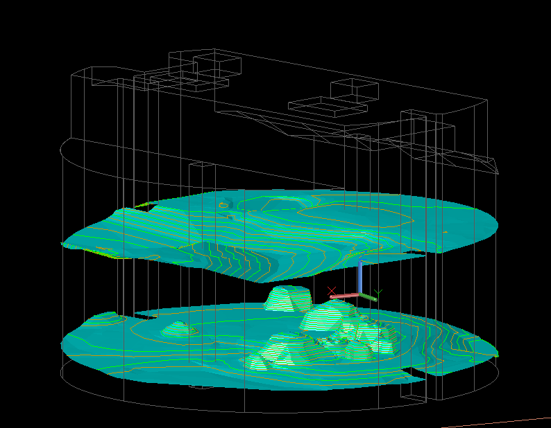
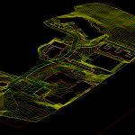
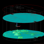
Se Surveying create detailed volume calculations utilising data from many sources: historical survey data, commercially available Lidar, UAV information, bathymetric data, traditional 2D or 3D topographic survey data, point clouds and numerous other sources.
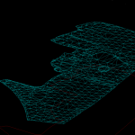
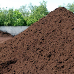
We model this data to provide detailed volume calculations for cut and fill exercises, bulk earth movement, contract disputes or cost analysis.

